CHAPTER FIVE: ASTORIA/LEWIS & CLARK NATIONAL HISTORICAL PARK
June 27, 2021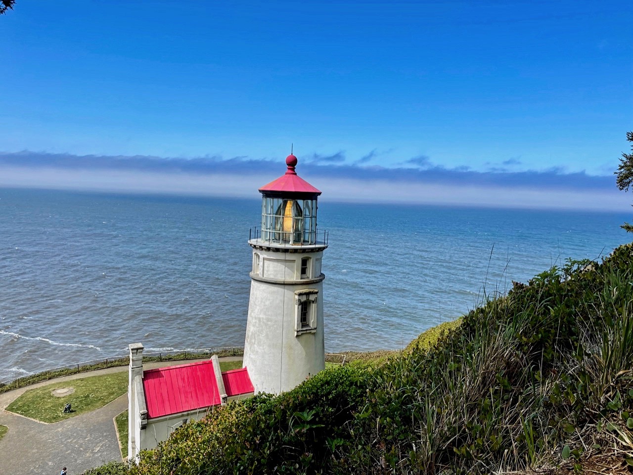
CHAPTER SEVEN: SEEING THE LIGHT ON THE OREGON COAST
July 15, 2021Post-Vaccination Vacation: Mai Tai Tom’s Oregon Trail Tale
 CHAPTER SIX: ZOOMING DOWN THE OREGON COAST
Day Seven – Death-Defying, Give Me A Hug, Getting High In Oregon, A River Runs Through It, Pier Review, Simple Symon’s, The Big Cheese, Check Out Those Tentacles, Seeing The Light (Part One), “Best Clam Chowder In The World”, Foulweather Ahead, Seal Of Approval & Room With A View
I thought about going across the street for one of those fattiest pastries in Europe, but my sticky toffee pudding was still sticking to my ribs so we grabbed the included breakfast at our lodging before hitting the road. Kim was jumping on another Zoom call, as Tracy and I bade them farewell with plans to meet up at a lighthouse as we traveled to our next stop, Yachats. Cannon Beach was a great stop that exudes charm (and lots of visitors).
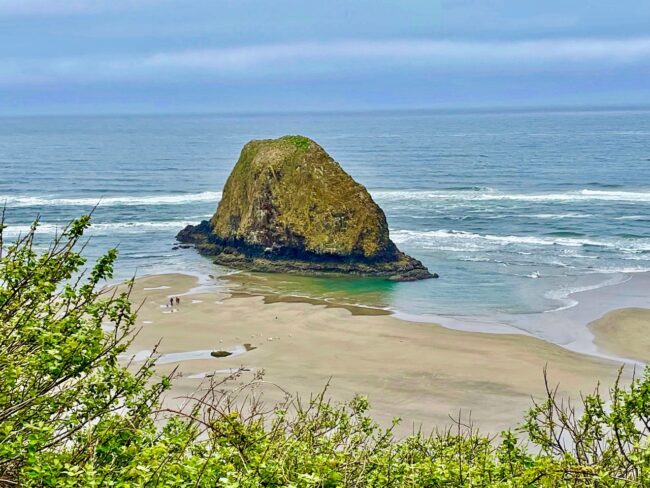
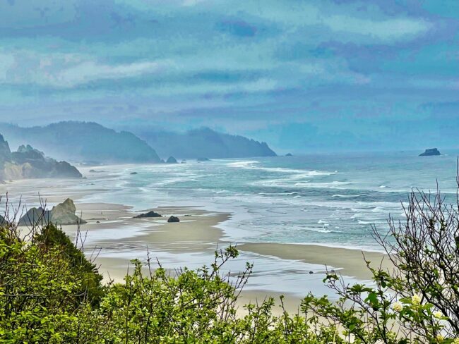
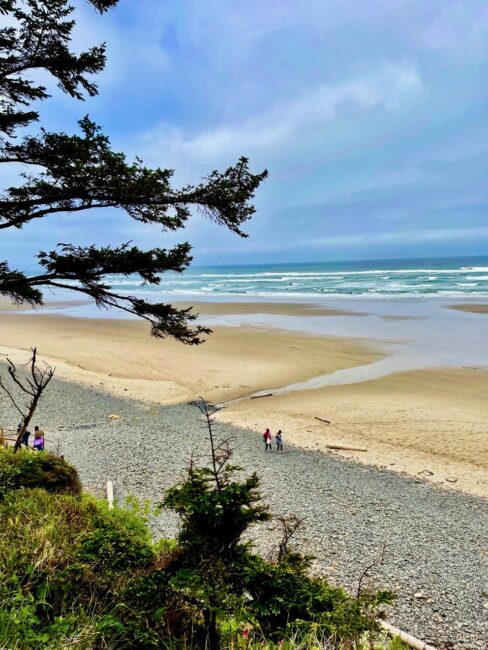
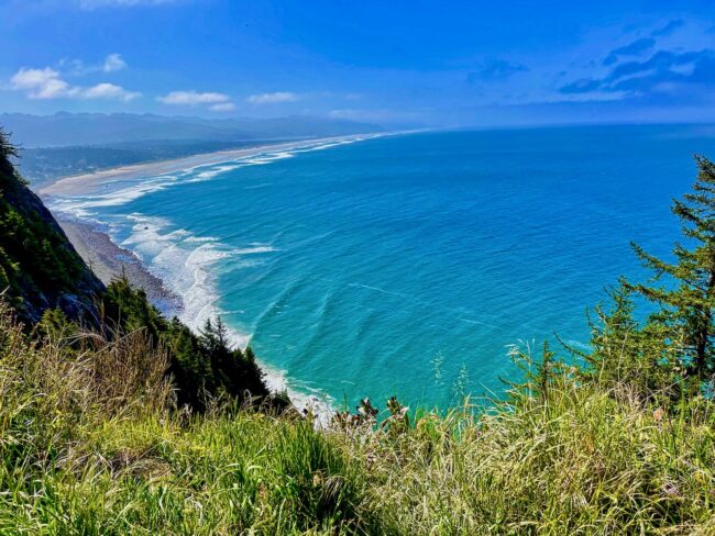
 We made a quick detour at a lookout a little south of Cannon Beach,
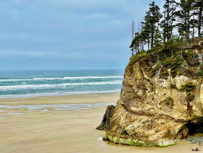
I wanted to stop at Hug Point, but as we searched for a sign we zoomed right past the sharp turn to get in the lot. Undeterred, I made a dangerous U-Turn on 101 as Tracy closed her eyes. I thought that by having her close her eyes, I wouldn’t get “The Look.” Instead, I received “The Squawk” from our GPS, that momentarily went insane.
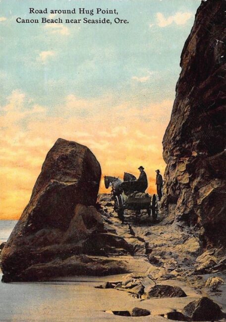
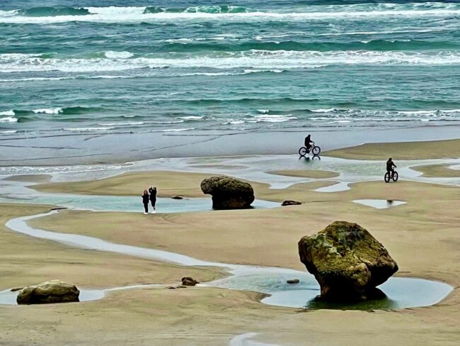
Heading northward, there was a sign for Hug Point Parking, and we made a “careful” left turn into the very crowded lot. We got the final space (at least I think it was a space).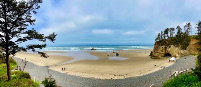 Hug Point is not named after an affectionate motion, rather travelers in the old days would have to wait until low tide, and have their wagons “hug” around the point so as to not be swept away (below is a postcard provided by the Inn at Arch Cape).
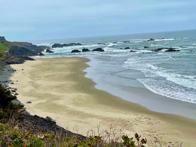
We didn’t get down to the waterfall, but the beach had lot of activity with walkers and people riding bikes. Taking a few more photos, it was time to leave the throng of people looking for parking to fend for themselves.
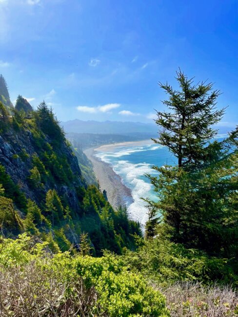
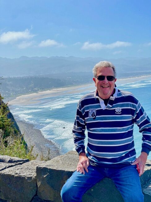
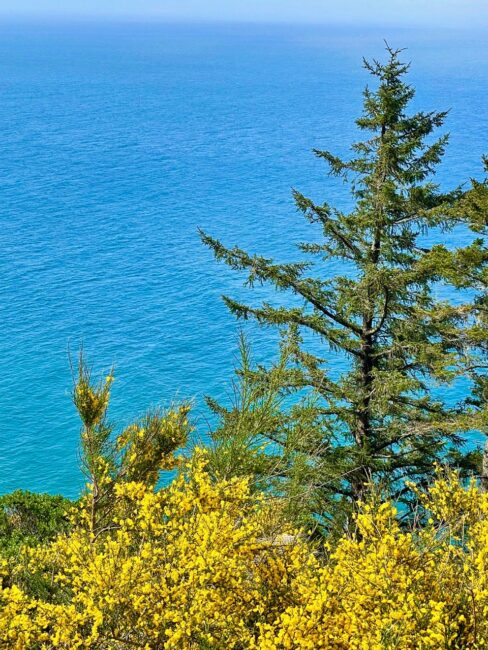
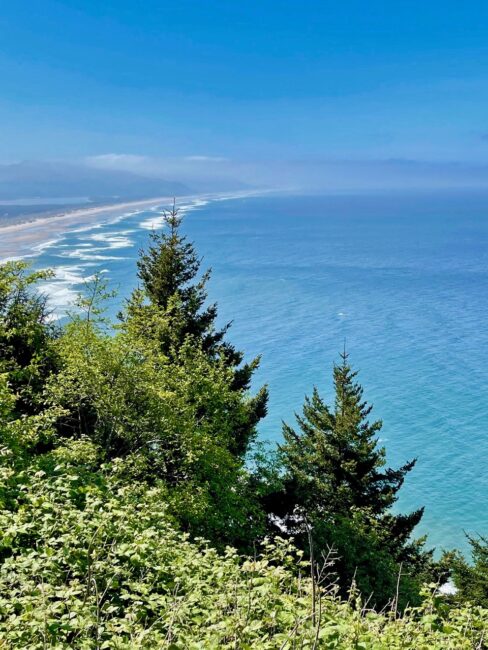
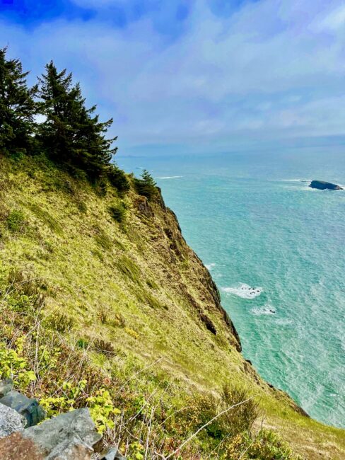
Located ten miles south of Cannon Beach is Oswald West State Park. At the viewpoint, a sign stated that we were “standing on the west shoulder of Neahkahnie Mountaih,” which, at 1,661 feet, “is one of the highest points on Oregon’s coast.”
Skies were bluing up, so the views from here were spectacular.
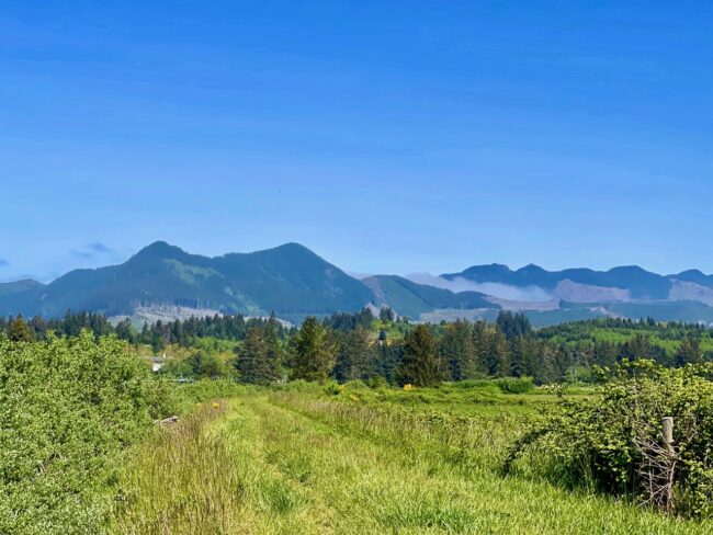
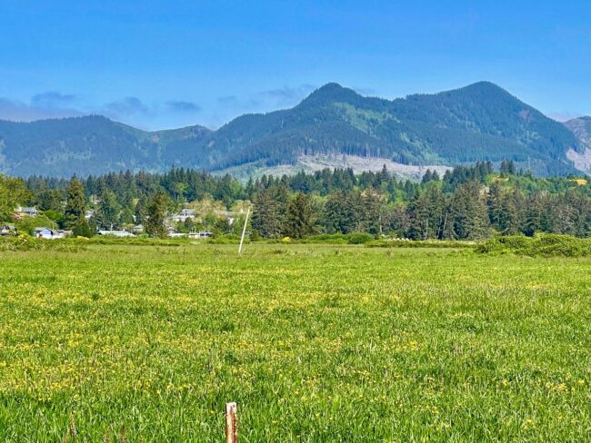
As we looked out on these spectacular vistas, I wondered where Oswald East State Park is located. As it turned out, there isn’t one because the park is named for Oswald West, a one-term governor (1911-1915) of Oregon who opened about 400 miles of Oregon’s coastline for public access. He did so by declaring the beaches a public highway. Traveling further southward, we spied the pastoral scenes outside Nehalem.
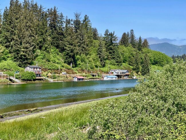
As we passed, we glimpsed a river running through Nehalem.
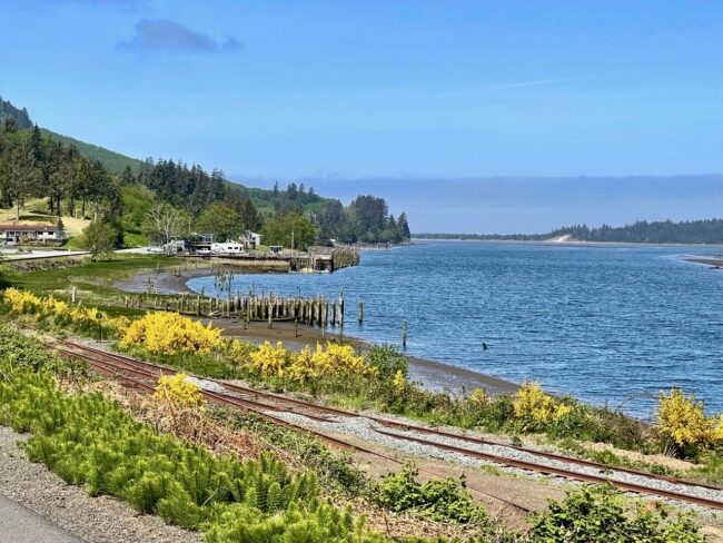
Passing by Lazarus Island (where I knew even my bad driving couldn’t kill me) and Rockaway Beach …
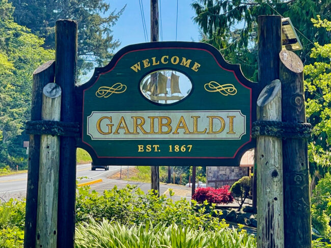
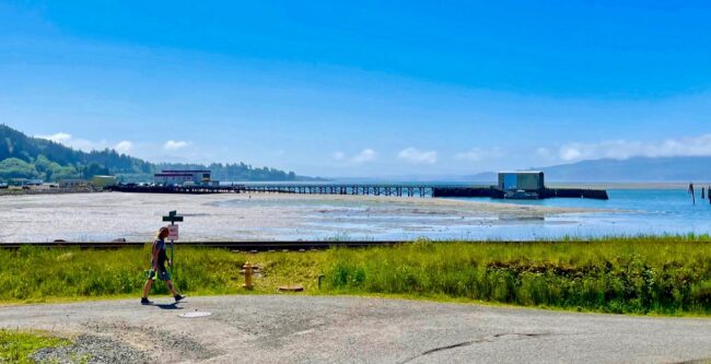
… we headed toward Garibaldi, where we were in search of the longest pier in the state of Oregon. (Not this one)
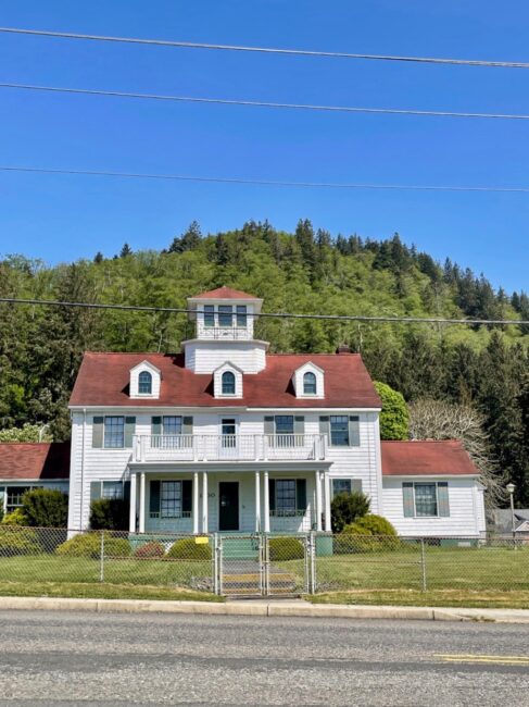
At 760 feet in length stretching out into Tillamook Bay, Pier’s End is truly the longest in Oregon. At the end of the pier is the Historic U.S. Coast Guard Boat House. The pier was built that length so that boats could be successfully launched no matter the size of the tide.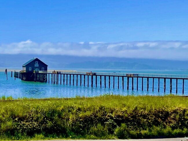 Back on Highway 101, we passed by the historic Coast Guard station, constructed in 1925 and placed on the National Registry of Historic Places in 1993.
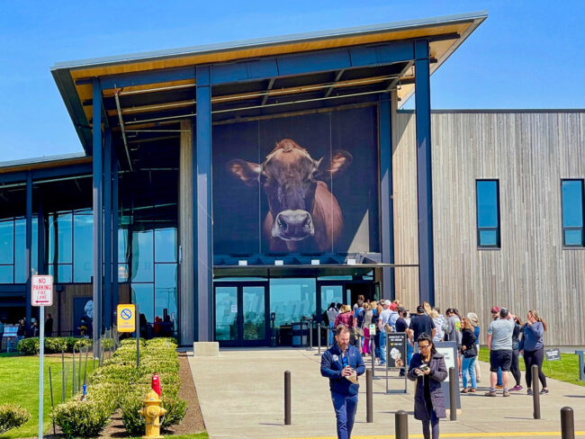
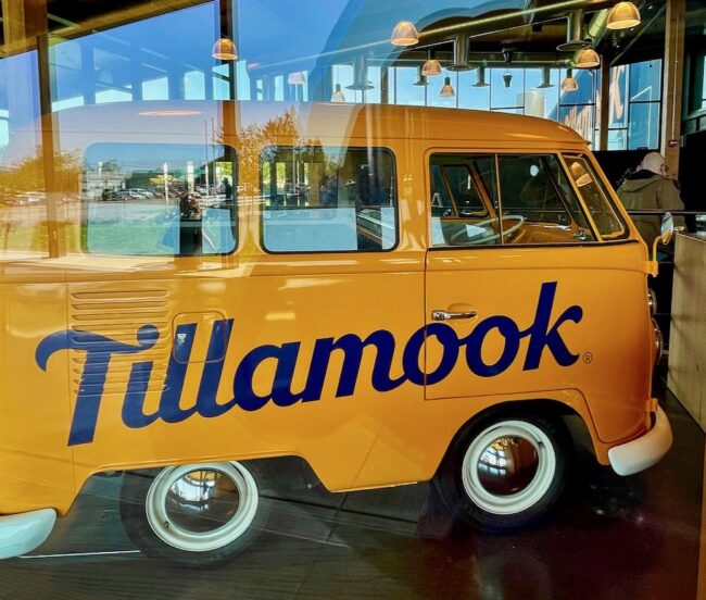
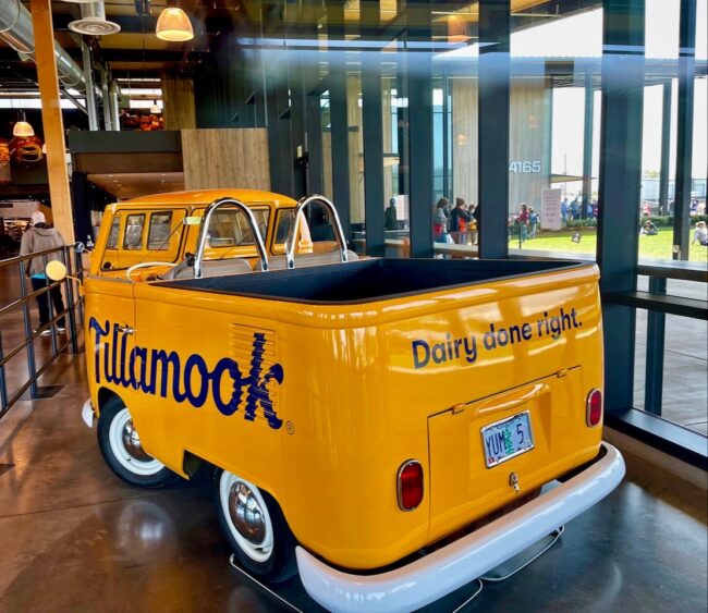
Next, I wanted to be the big cheese and perhaps take a tour of the Tillamook Creamery. But so did the rest of Oregon.
The lines were long and we needed to meet Kim and Mary soon at a nearby lighthouse. I’m not sure if the lines were for the tour or to grab some cheese and ice cream.
I guess I needed to be extra sharp to figure out what time to get to the cheese factory, but it was only a medium-sized disappointment.
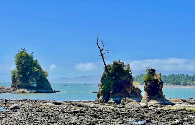
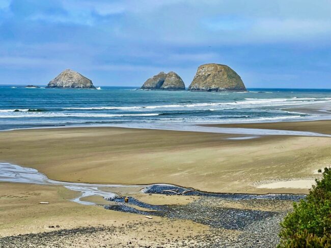
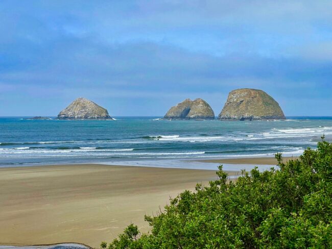
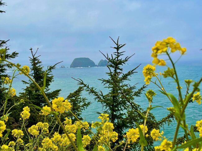
Before heading over to Cape Meares, we detoured a bit off the beaten path on to the Three Capes Scenic Route about a half mile south of Tillamook. We came upon the Symons State Scenic Viewpoint. The turnout on a turn made for an exciting entrance, but by now Tracy knew that death might just be one wayward turn away. We made it safely and looked out to Three Arch Rocks National Wildlife Refuge in Oceanside, the first national wildlife refuge west of the Mississippi River and one of the smallest in the United States.
Nearly a quarter of a million birds call this their home (Tippi Hedron should steer clear). Three Arch Rocks once had the largest breeding colony of Tufted Puffins in Oregon, the elusive fowl we never saw in Cannon Beach.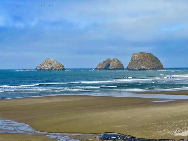
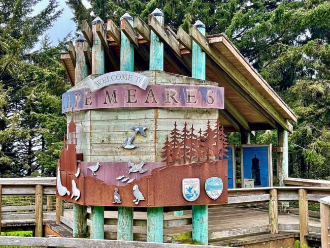
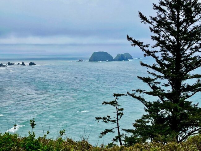
As we pulled into the parking lot at Cape Meares State Scenic Viewpoint and National Wildlife Refuge, Tracy said, “What do you know, Kim and Mary are right behind us.”
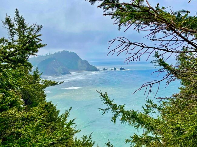
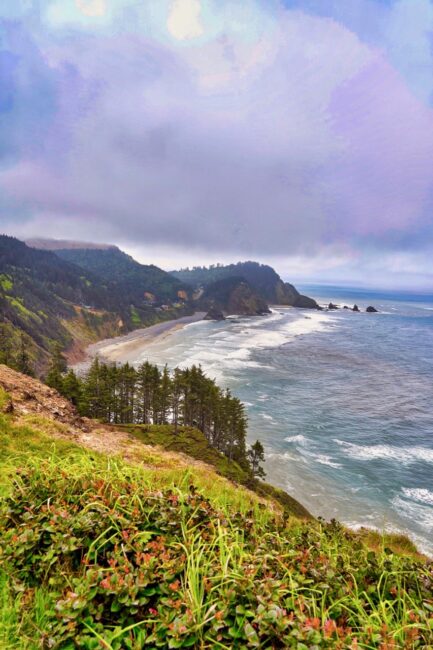
The views from here were quite remarkable, as well.
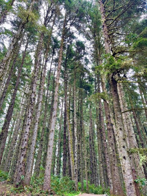
 Before the short hike down to the lighthouse, there was a tree that we needed to see. We took the short walk through the forest …
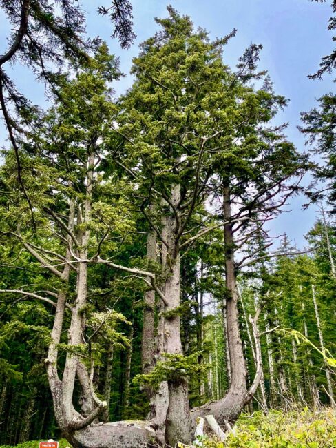
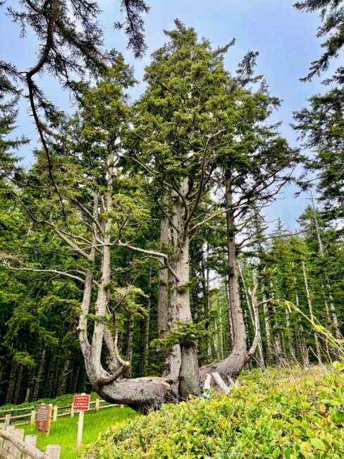
.. in search of the famed Octopus Tree. Getting our tentacles around the name of the tree, once we saw it we knew exactly why it was so named. The Octopus Tree’s existence is still a mystery today. Some say natural events resulted in its unique shape while others claim that perhaps Native Americans had something to do with making it look this way. In any event, this 105-foot tall tree that is between 250 and 300 years old is quite a sight. There is no central trunk, and its limbs extend horizontally about 16 feet before turning toward the sky.
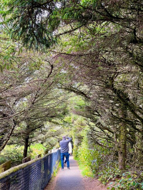
Back at the parking area, our walk would take us down a narrow path, where photographic opportunities abounded at each and every turn.
With all the stops, it took a while to traverse the 1/4 mile paved hike to our destination.
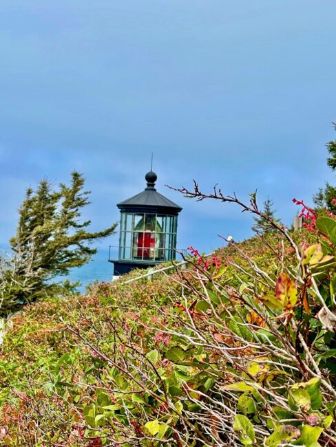
Finally, we saw the light. Cape Meares Lighthouse is the shortest on the Oregon Coast, but its lens was one of the most powerful when the lighthouse opened in 1890.
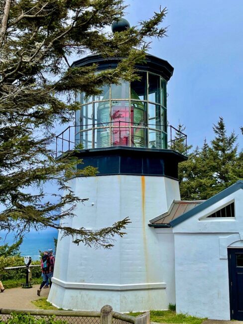 The views from this area were magnificent, too.
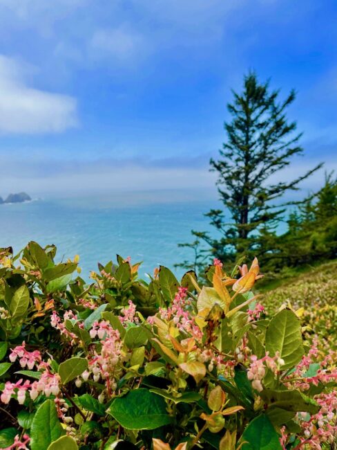 We took a different route back to the parking lot, where we decided we needed lunch.
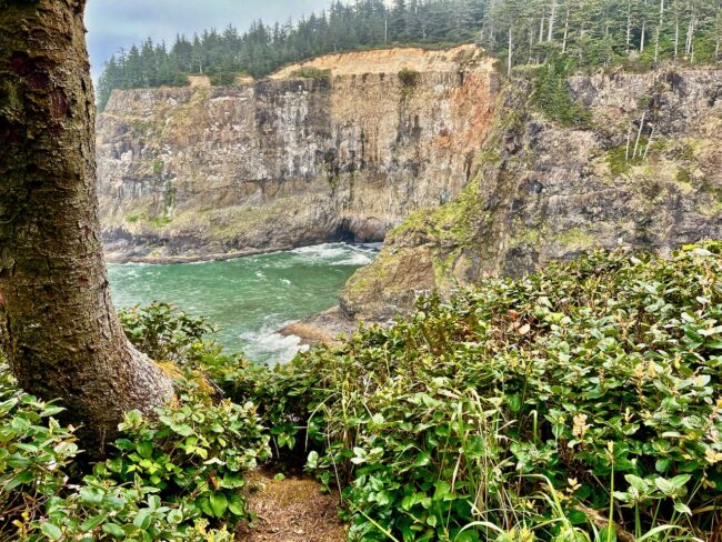 It was shortly thereafter I made a mistake in judgment, words that should also be inscribed on my tombstone. I decided that I knew the route to our next destination, so for some reason (stupidity comes to mind), I turned off the GPS. Next thing I knew we were on the wrong road, and my GPS was not working. By now, Tracy was so tired of giving me “the look,” she just gazed out the window in bewilderment. Fortunately, Kim and Mary, who were now ten minutes ahead of us, knew the directions, and before we lost phone connection with them (spotty T-Mobile coverage in this area), we were on the correct path along the coast toward Pacific City.
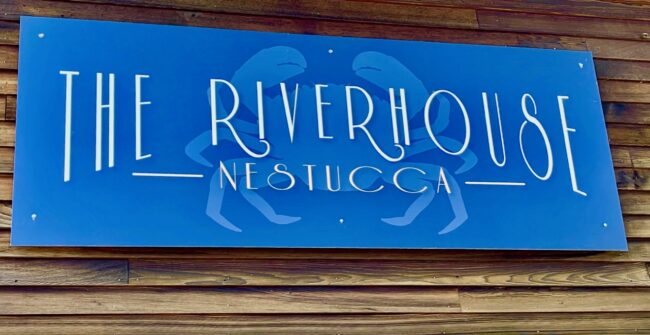
Fog crept in and out, and since Cape Lookout was closed, we kept going to Pacific City and the Riverhouse Nestucca, where a sign in front of the restaurant claimed that “Everyone” had voted its clam chowder the world’s greatest. We’d be the judge of that! What do you know, Kim’s and my Pacific NW Clam Chowder was quite good, but maybe not the best in the world,
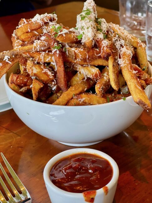
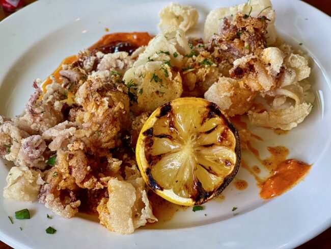
Tracy and I shared the calorie-laden (but delicious) Parmesan Rosemary Fries; hand cut fries with rosemary sea salt, parmesan reggiano, cracked black pepper & fresh herbs served with ancho ketchup. Tracy also ordered Calamari Al Ajillo; rice flour dusted & flash fried with toasted garlic, crushed chilis & pimento aioli.
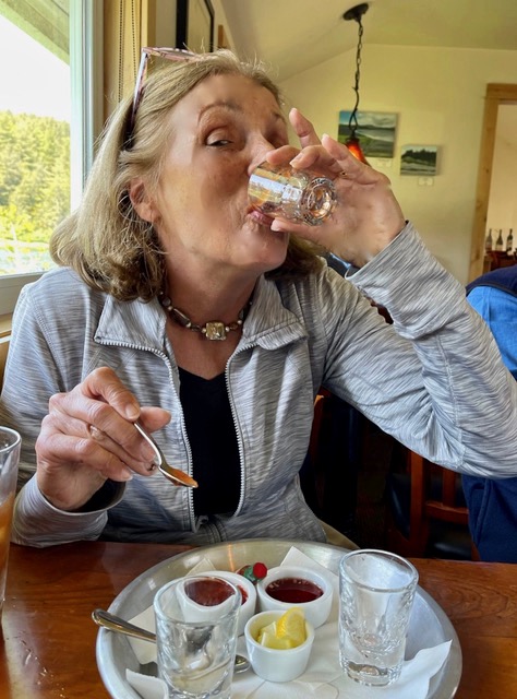
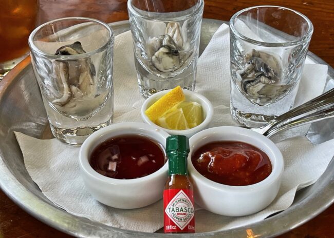
Mary stole the show with her Oyster Shooters; fresh shucked Netarts Bay oysters with maple mignonette, house cocktail sauce and charred lemon. Go, Mary, go!!!!
She and Tracy shared some Prosecco, while the waitress regaled us with many funny stories. Highly recommended, and you see why they call it the Riverhouse.
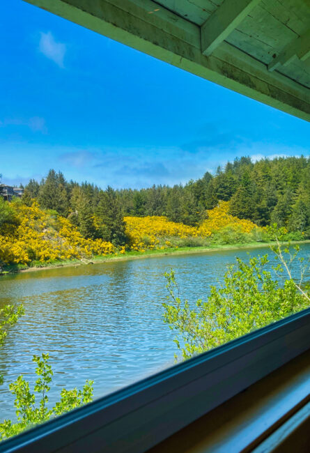 More pastoral scenery awaited us as we traveled southward to our appointed destination of Yachats.
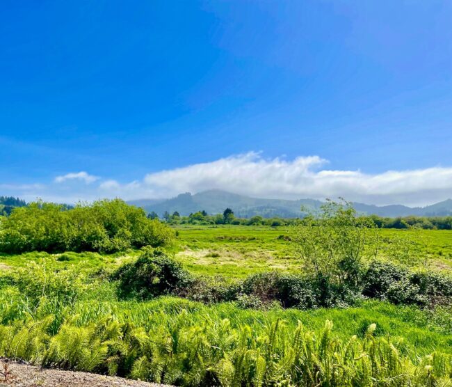 Our first detour was to Winema Wayfinding Point, between Winema and Neskowin. Since I had a few problems with my way finding on the trip, it was a sensible stop.
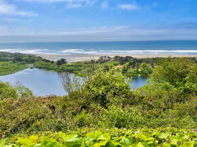
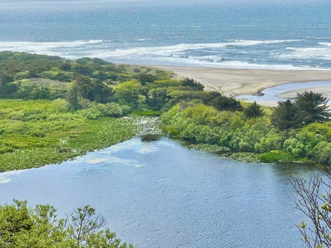
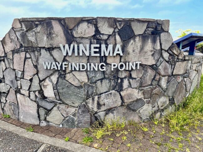 It seems this area is also called “Corridor of Mystery,” but it was a mystery why it’s called that. We took a couple of photos of Winema Lake and the Pacific Ocean.
Passing by Glenendon Beach …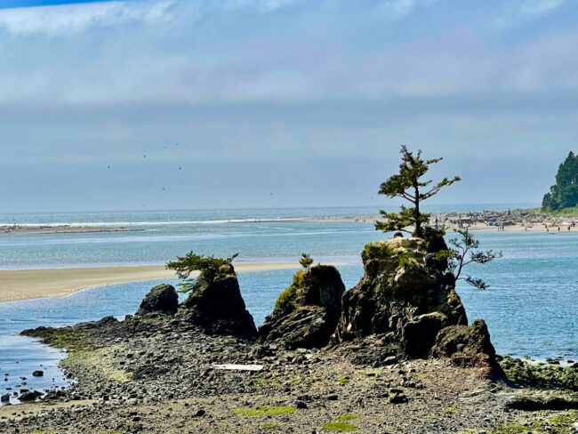 … we came upon the cleverly monikered Cape Foulweather, but it didn’t live up to its name on this day because the skies were rather blue. English explorer Captain James Cook named it Cape Foulweather because on the day he “discovered” it in March of 1778, the weather was definitely foul. The gift shop was not open on this Saturday afternoon.
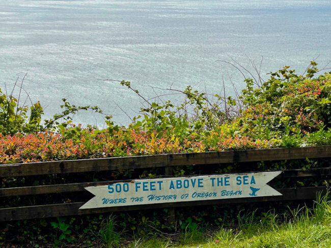
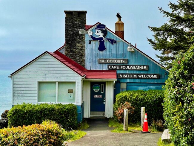 There have been winds of more than 100 miles per hour recorded at Cape Foulweather. We were happy the winds were only moderate as we took a photo from 500 feet above sea level toward the beaches at Otter Rock.
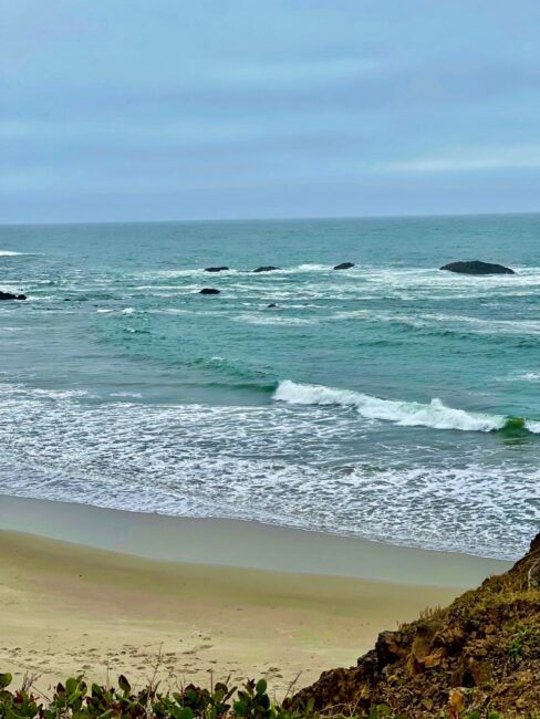
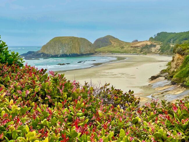
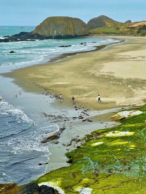
Photo viewpoints abound on the Oregon coast,
The final viewpoint we hit (not literally) was Seal Rock. We thought we were taking a photo of Seal Rock, but discovered later it was actually Elephant Rock. If I knew it was called Elephant Rock, I would have put on my swimming trunks. It has been said that sea serpents of “enormous proportions” were spotted here in 1935. Drinking might have been involved.
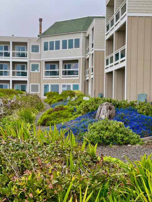
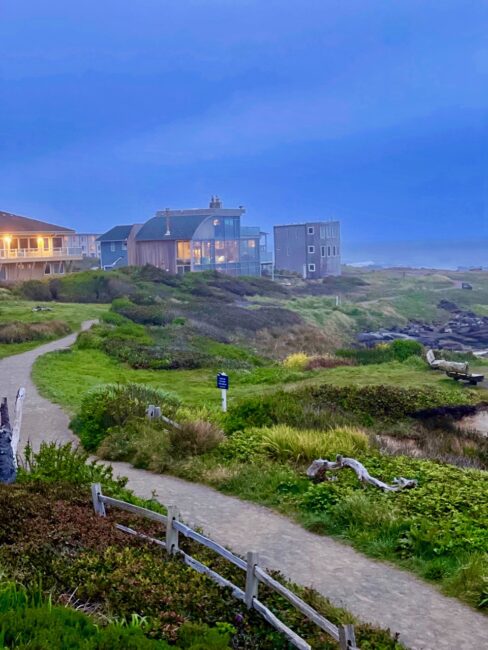
We arrived at the Overleaf Lodge and Spa a little before 5 p.m. Wow, what a property. Our room was larger than the apartment I had when I was a disc jockey out of college, complete with a kitchenette and fireplace.
How did the lodging get its name? From its website: “The Overleaf Lodge opened in 1997, after being designed and built by our founders and owners, Jerry and Georgia Roslund … The name ‘Overleaf’ was chosen through a happy accident. During the initial construction of the property, Jerry was thumbing through an architectural catalogue when he found a photo of a building he liked and mistakenly thought the architectural style was called ‘Overleaf.’ As it turns out, the term was instructing him to “turn the page” or “overleaf” for more information. Nonetheless, they loved the name and what it came to symbolize for the Lodge: “turning over a new leaf” in life. This is how the Overleaf Lodge & Spa was born.” (photo below courtesy of Overleaf Lodge and Spa)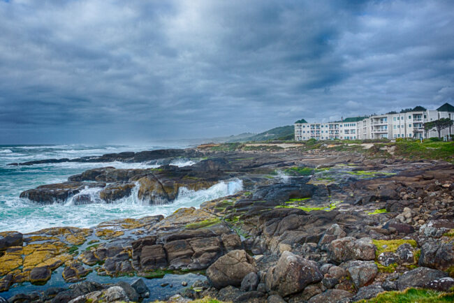
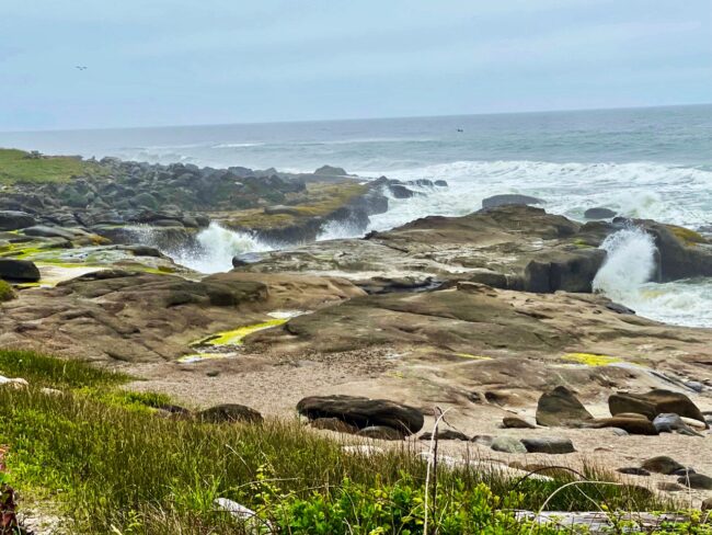
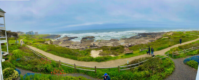
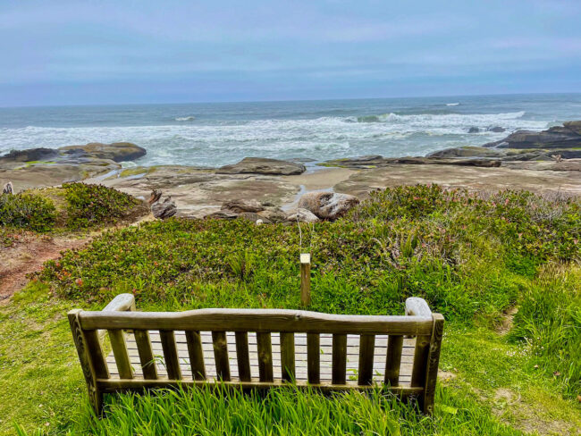
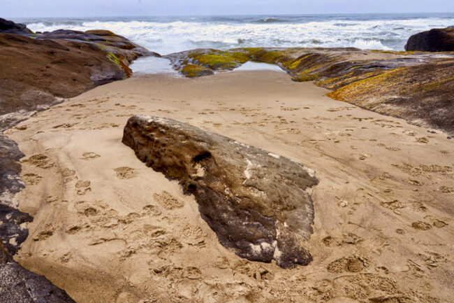
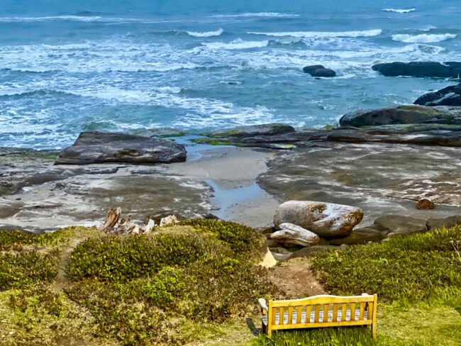
Tide pools and interesting rock formations were situated at every turn and there were places to sit and enjoy nature in all its beauty.
The rugged shoreline begged us to hike a little longer, even though it was very chilly. The four of us strolled a bit along the historic 804 trail located outside the hotel door.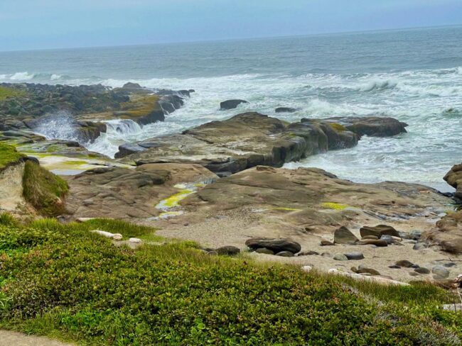 Since we had a fairly late lunch, the four of us decided to congregate in our large room for a charcuterie platter with the wine and picnic ingredients Mary had packed in an ice chest. Gazing outside we watched hikers and happy dogs pass by as the sun fell into the sea.
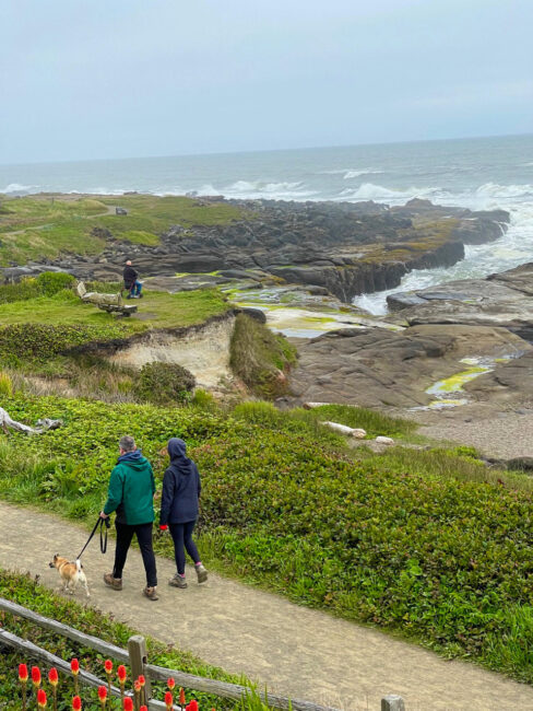 The views from the room were grand as the stars and moon rose over the horizon.
It was a relaxing way to end an eventful day.
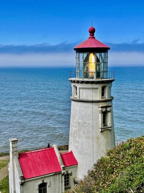 Tomorrow, we’d once again be on the road, stopping at more viewpoints along the way. The big ticket item on the drive to Gold Beach would be the incredibly scenic area near Heceta Lighthouse. Another root beer float awaited us at a restaurant chain I had not visited in more than four decades. However, our hotel on this night would be quite a disappointment, which was a shame because it had the potential for a great stay.
CHAPTER SEVEN: SEEING THE LIGHT ON THE OREGON COAST
Day Eight: A Devil Of A Stop, Perpetua Problem, Thor She Doesn’t Blow, Picturesque Perambulation, Haunted, Light At The End Of The Trail, Restaurant Shut Out, A&W, Bah Humbug, Dennis Weaver Time, You’re A Wreck, Sticky Situation Without The Toffee, Gone With The Wind, Spinners & Meeting Our Waterloo

